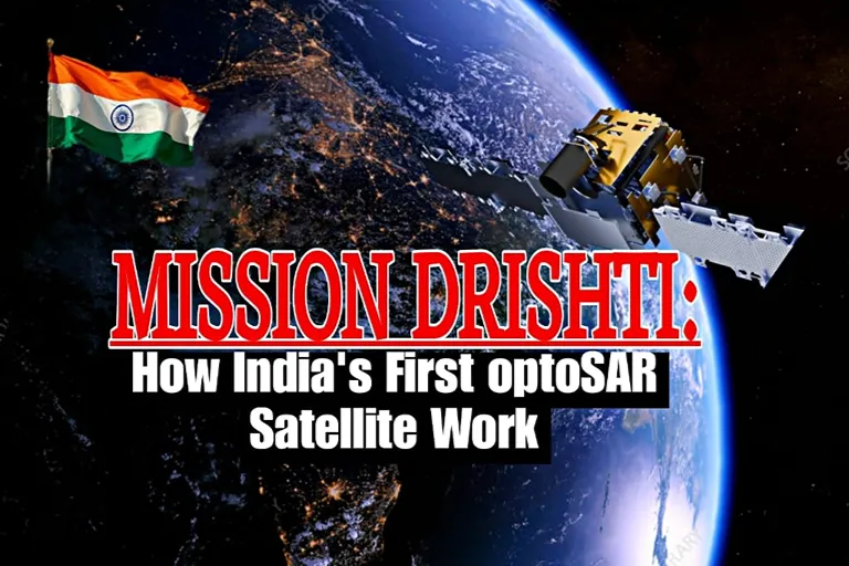

India’s space ambitions are entering a new era, and Mission Drishti stands at its centre. The mission is more than another satellite launch. Instead, it represents a technological shift that could reshape how India observes the Earth, responds to disasters, and strengthens national security.
Moreover, Mission Drishti reflects the growing role of India’s private space sector. It combines advanced imaging technologies into one platform. As a result, it promises continuous Earth observation regardless of weather or lighting conditions. This capability could influence everything from agriculture and urban planning to defence and border surveillance.
What Is Mission Drishti and When Was It Launched?
Mission Drishti is the first satellite mission developed by Indian space technology startup GalaxEye, founded by engineers from the Indian Institute of Space Science and Technology (IIST). The mission was designed to overcome one of the biggest limitations of conventional Earth observation satellites. While traditional optical satellites capture highly detailed colour images, they cannot operate effectively through clouds, smoke, fog, or darkness. Mission Drishti addresses this challenge by combining Synthetic Aperture Radar (SAR) with optical imaging on a single satellite, enabling continuous, all-weather, day-and-night Earth observation.
The mission was successfully launched on 3 May 2026 at 12:30 PM IST aboard a SpaceX Falcon 9 rocket from Space Launch Complex 4E (SLC-4E), Vandenberg Space Force Base, California, USA. According to the Press Information Bureau (PIB), the launch marked the debut of the world’s first OptoSAR Earth observation satellite, integrating optical and Synthetic Aperture Radar (SAR) sensors into a single platform for continuous, all-weather Earth observation. The Home Minister said the mission would transform Earth observation and further strengthen India’s position as an emerging space power.
Mission Drishti’s Key Features and Specifications
Dual Imaging Technology
The satellite combines two different sensing methods.
- Optical Sensors: Capture high-resolution colour images with excellent visual clarity under clear weather conditions.
- Synthetic Aperture Radar (SAR): Uses radar waves to capture images through clouds, haze, smoke, fog, and darkness, ensuring continuous all-weather, day-and-night observation.
All-Weather Observation
Unlike conventional satellites, Mission Drishti can continue collecting valuable data even during monsoon seasons or severe weather.
Day-and-Night Monitoring
Radar technology allows continuous observation regardless of sunlight.
AI-Based Data Processing
Artificial intelligence helps process large amounts of satellite information more efficiently. Consequently, users receive actionable insights much faster.
Multi-Sector Applications
The collected data supports government agencies, research institutions, businesses, emergency responders, and defence planners.
How Does Mission Drishti Work?
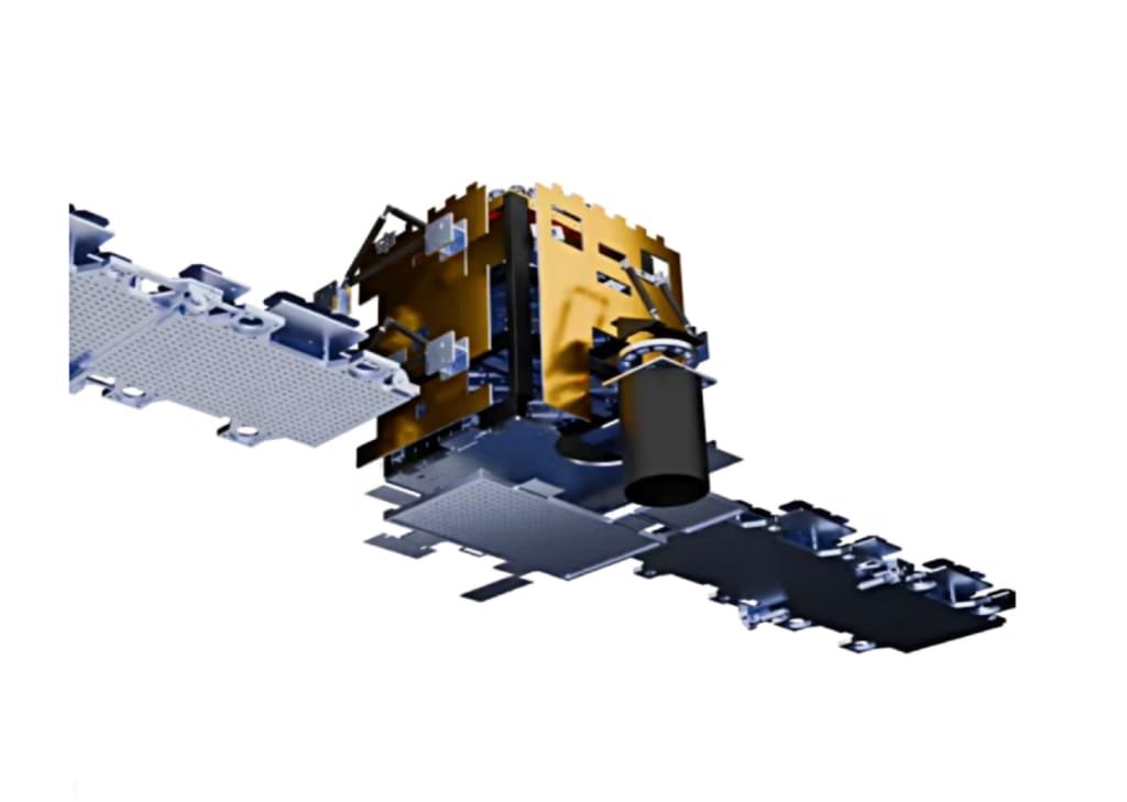
Mission Drishti integrates optical sensors and radar systems into one observation platform. First, optical cameras capture highly detailed visual images whenever weather conditions allow. Meanwhile, Synthetic Aperture Radar sends microwave signals toward the Earth’s surface. These signals bounce back after striking land, water, vegetation, or buildings.
Unlike visible light, microwave signals can penetrate clouds, rainfall, fog, and darkness. Finally, advanced software merges both datasets into one comprehensive Earth image. This process produces richer information than either technology could provide independently. As a result, analysts receive more accurate and reliable information throughout the year.
Major Applications of Mission Drishti
Mission Drishti has practical uses across multiple sectors.
Disaster Management
Emergency agencies can monitor floods, landslides, cyclones, earthquakes, and forest fires in real time.
Agriculture
Farmers and policymakers can monitor crop health, soil moisture, irrigation efficiency, and seasonal changes.
Border Security
Continuous monitoring strengthens surveillance along sensitive border regions.
Urban Planning
City planners can analyse infrastructure growth, traffic patterns, and land-use changes.
Environmental Monitoring
Scientists can observe glaciers, forests, rivers, coastal erosion, and climate-related changes more effectively.
Maritime Surveillance
Authorities can monitor shipping routes, illegal fishing, and coastal activities.
Why Mission Drishti Matters for India
Mission Drishti represents more than a technological achievement. It highlights India’s expanding capabilities in the commercial space industry. For decades, Earth observation depended largely on government-operated satellites. However, private companies are now developing advanced technologies that complement national capabilities.
This shift offers several strategic advantages.
- Reduces dependence on foreign satellite imagery: Mission Drishti strengthens India’s ability to generate its own high-quality Earth observation data, reducing reliance on overseas providers.
- Supports domestic industries: Faster and more affordable access to geospatial data benefits sectors such as agriculture, infrastructure, logistics, and environmental monitoring.
- Boosts innovation and investment: The mission encourages growth in India’s private space ecosystem, attracting investment, fostering technological innovation, and creating opportunities for international partnerships.
Consequently, Mission Drishti strengthens India’s long-term objective of becoming a global leader in space technology.
Geopolitical Significance
Earth observation satellites have become essential geopolitical assets. Countries increasingly depend on satellite intelligence for disaster response, maritime security, infrastructure monitoring, climate research, and military planning. Mission Drishti enhances India’s independent Earth observation capabilities. Therefore, policymakers could access more timely information during natural disasters and regional security challenges.
Additionally, India’s growing commercial satellite sector improves its position within the expanding global space economy. As more nations invest in satellite constellations and geospatial intelligence, indigenous technologies become increasingly valuable for economic competitiveness and strategic autonomy. Rather than replacing government space programmes, private missions like Mission Drishti can complement national capabilities and strengthen India’s overall space ecosystem.
Challenges Ahead
Despite its promising capabilities, Mission Drishti faces several challenges that could influence its long-term success.
High Development Costs
Building and launching advanced Earth observation satellites requires substantial investment. Continuous funding is also needed for research, testing, operations, and future satellite upgrades.
Data Security
The mission will generate large volumes of sensitive geospatial data. Protecting this information from cyber threats and unauthorized access is essential, especially when it supports strategic and defence-related applications.
Regulatory Compliance
As India’s private space sector grows, companies must comply with national policies and international space regulations. Adapting to evolving legal and licensing requirements can be complex.
Global Competition
Mission Drishti enters a highly competitive market where established international companies already offer advanced Earth observation services. Maintaining technological innovation and competitive pricing will be crucial.
Scalability
To meet growing demand, GalaxEye may need to expand from a single satellite to a larger constellation. Achieving this while maintaining high data quality, operational efficiency, and affordable services will be a significant challenge.
Future Outlook
Mission Drishti could become an important milestone for India’s commercial space industry. As demand for satellite intelligence continues growing, integrated optical-radar systems may become increasingly common. Furthermore, future satellite constellations could provide more frequent observations with greater accuracy.
If successfully expanded, Mission Drishti may support smart cities, precision agriculture, autonomous transportation, environmental protection, and national security. Therefore, the mission represents both technological innovation and a strategic investment in India’s future.
Conclusion
Mission Drishti demonstrates how India’s private space sector is moving beyond traditional satellite development. By combining radar and optical imaging into one integrated platform, the mission addresses longstanding limitations in Earth observation. Its applications extend far beyond scientific research. From disaster management to agriculture and border security, the technology offers practical benefits for government agencies, businesses, and citizens alike.
As global demand for reliable geospatial intelligence continues to rise, Mission Drishti positions India to play a stronger role in the international space economy while supporting national strategic interests.
FAQ
What is Mission Drishti?
Mission Drishti is an Earth observation satellite mission developed by Indian space startup GalaxEye. It combines optical imaging and Synthetic Aperture Radar (SAR) to provide continuous, all-weather, day-and-night monitoring of the Earth’s surface.
When was Mission Drishti launched?
Mission Drishti was launched on 3 May 2026 at 12:30 PM IST aboard a SpaceX Falcon 9 rocket from Space Launch Complex 4E (SLC-4E), Vandenberg Space Force Base, California, USA.
What makes Mission Drishti different from traditional satellites?
Mission Drishti is the world’s first OptoSAR Earth observation satellite. It combines optical sensors with Synthetic Aperture Radar (SAR), allowing it to capture high-quality images even through clouds, smoke, fog, and darkness.
What are the major applications of Mission Drishti?
The satellite supports disaster management, agriculture, border surveillance, urban planning, environmental monitoring, maritime security, and infrastructure development by providing reliable Earth observation data.
Why is Mission Drishti important for India?
Mission Drishti strengthens India’s space capabilities by reducing reliance on foreign satellite imagery, supporting the growth of the private space sector, and providing valuable geospatial data for strategic, commercial, and civilian applications.